Rome Waterways And Trails Advocacy Group

Trail Areas

Explore one of the many trail areas around Rome, NY. Be sure to practice Leave No Trace Principles when you go outside. Looking to get outside in winter? Did you know Jervis Library in Rome loans snowshoes and poles in both youth and adult sizes? Free, with your library card! Looking for even more trails? Check out the Herkimer-Oneida County Trail guide for information on a number of the Rome trails below, as well as trails in our surrounding communities. Find it here.

Empire State Trail 1
Empire State Trail 2
Empire State Trail 3
Empire State Trail 4

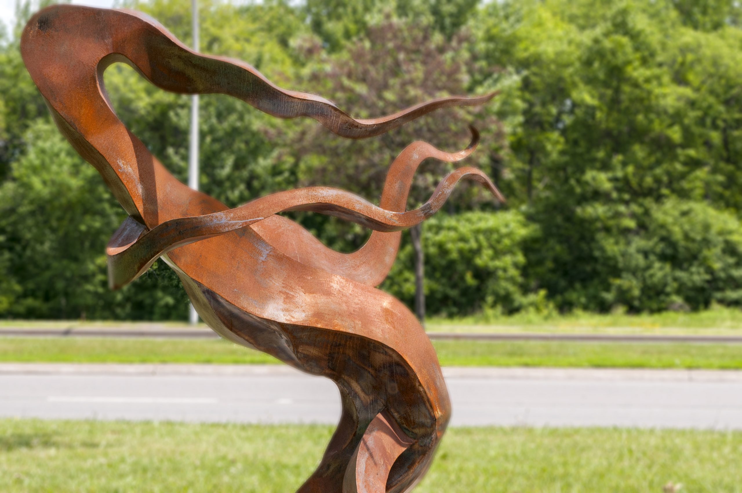
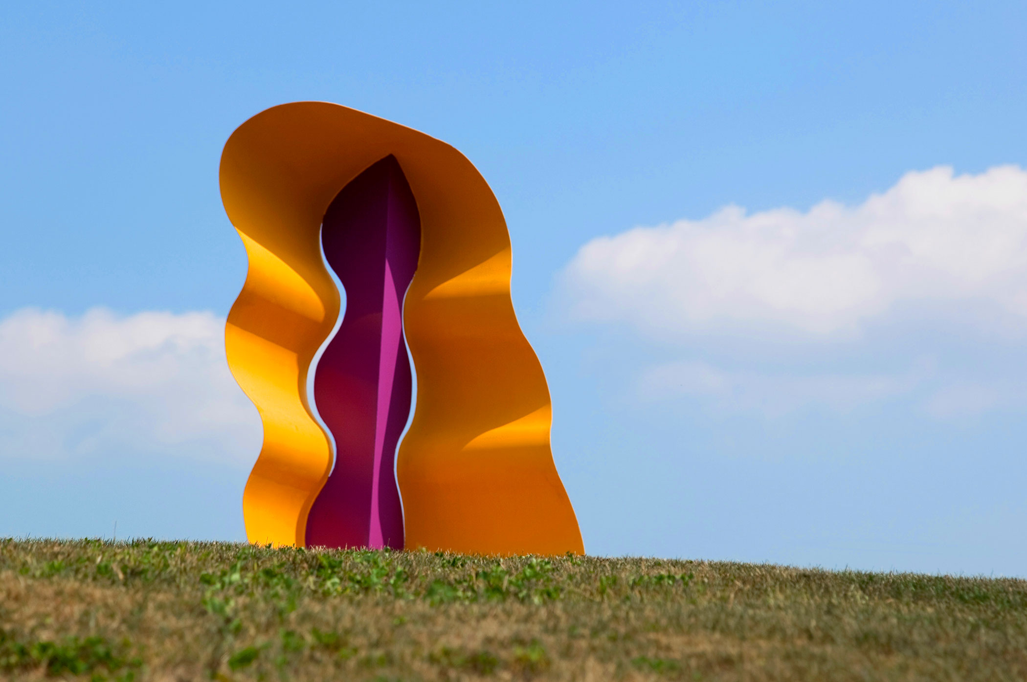
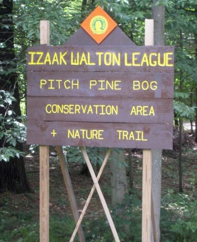
Empire State Trail / Erie Canalway Trail

On July 4, 1817, construction of the Erie Canal officially began in Rome when New York Governor DeWitt Clinton turned the first ceremonial shovelful of earth. This symbolic act marked the start of the canal that would connect the Hudson River to Lake Erie and reshape trade and settlement across the state and the nation. Rome was chosen for its location at the historic Oneida Carrying Place — a short portage between the Mohawk River and Wood Creek that had been used for centuries by Indigenous peoples, including the Oneida Nation, as well as early traders and settlers. Long before the canal, this land bridge made Rome a natural transportation crossroads.

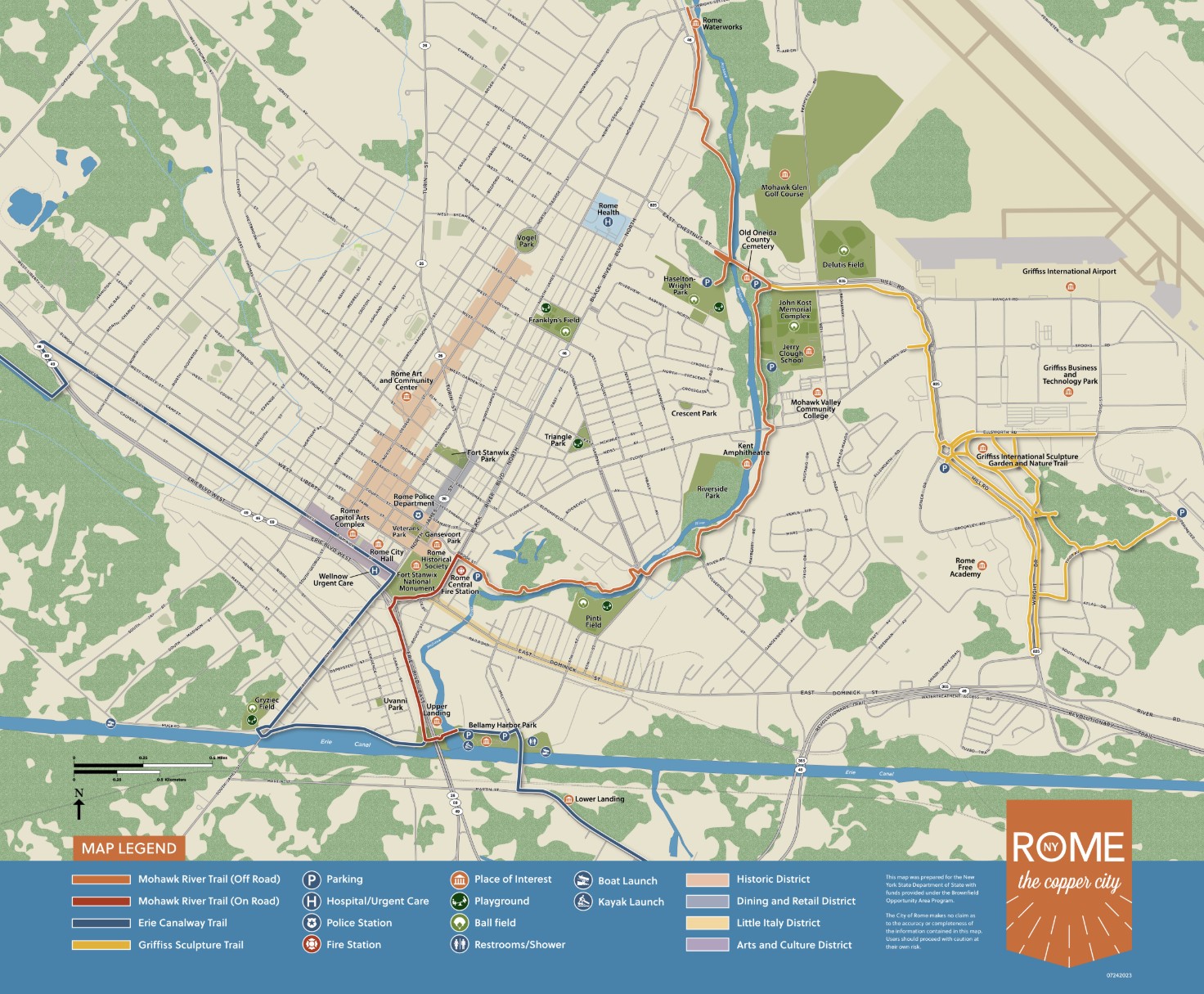
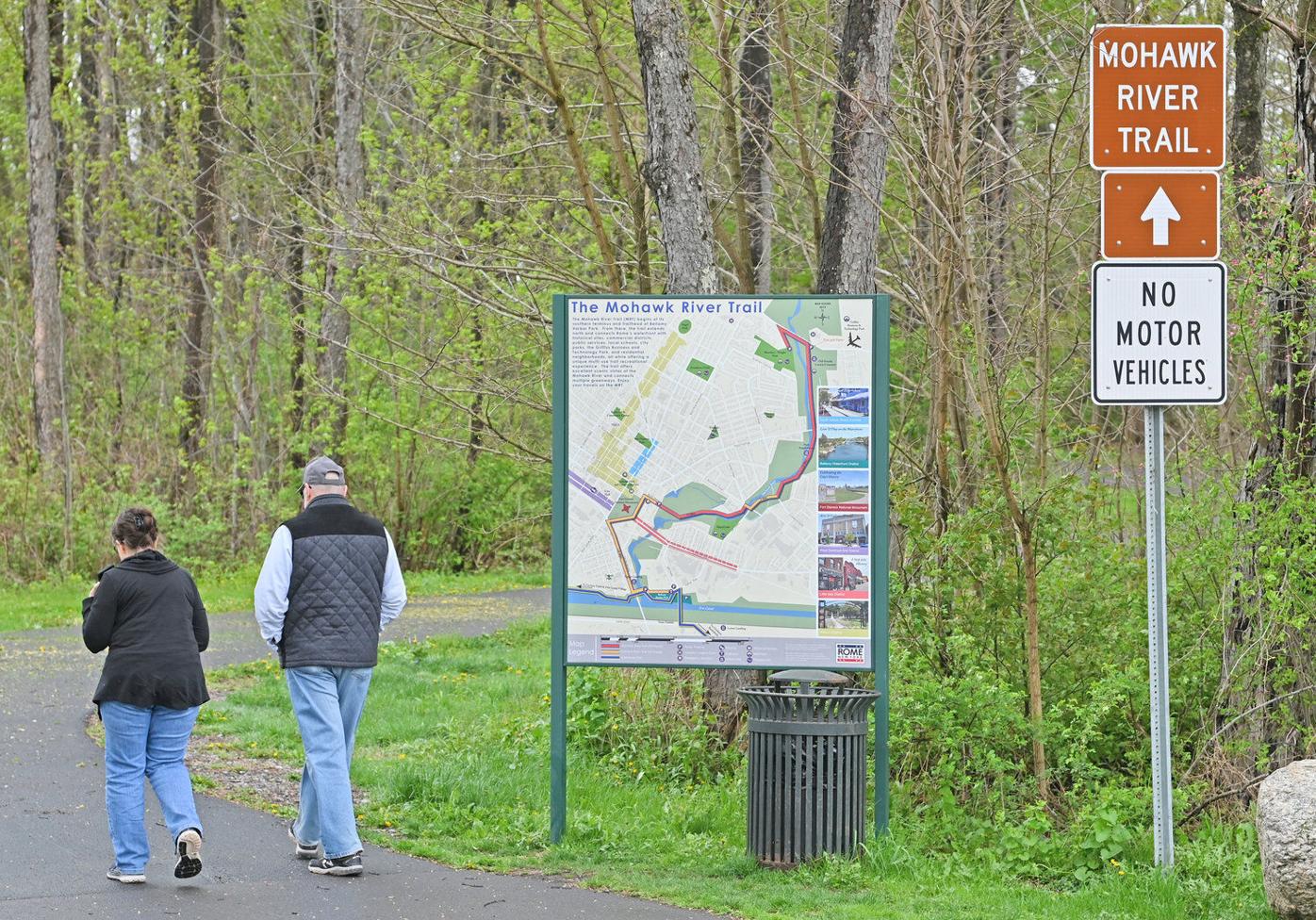
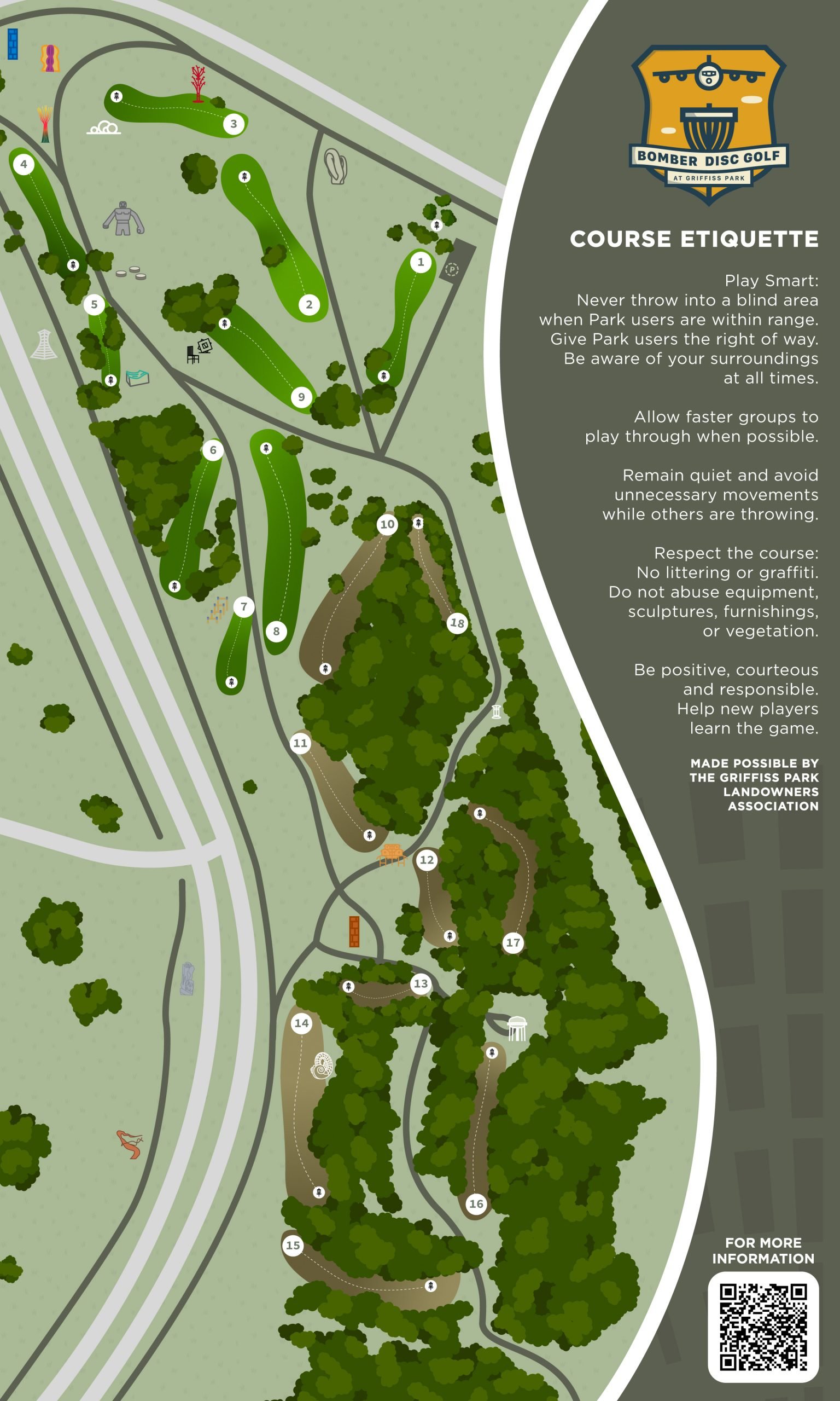
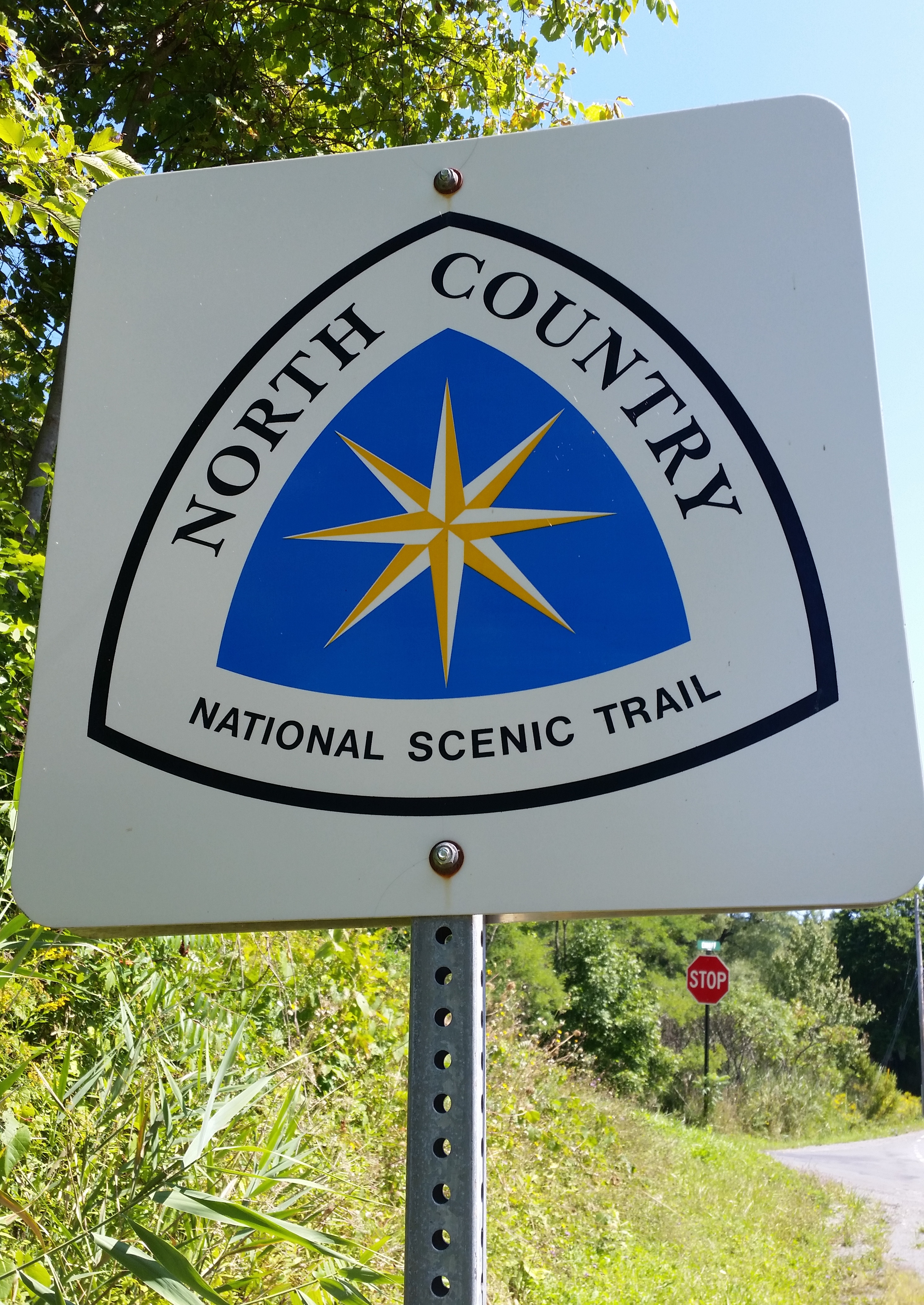
Today, that legacy lives on through the Empire State Trail, a 750-mile statewide route that connects New York City to Canada and Albany to Buffalo, making it one of the longest multi-use trail systems in the country. Much of this route follows the Erie Canalway Trail, which traces the historic canal corridor between Albany and Buffalo. In places like Rome, both names are used: the Empire State Trail (EST) refers to the larger statewide network, while the Erie Canalway Trail (ECT) describes the canal-based segment visitors experience locally.

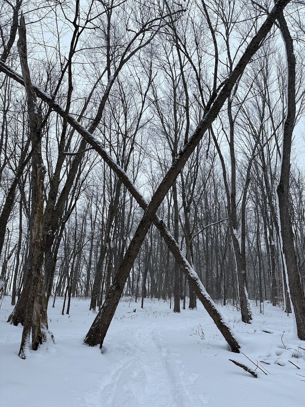
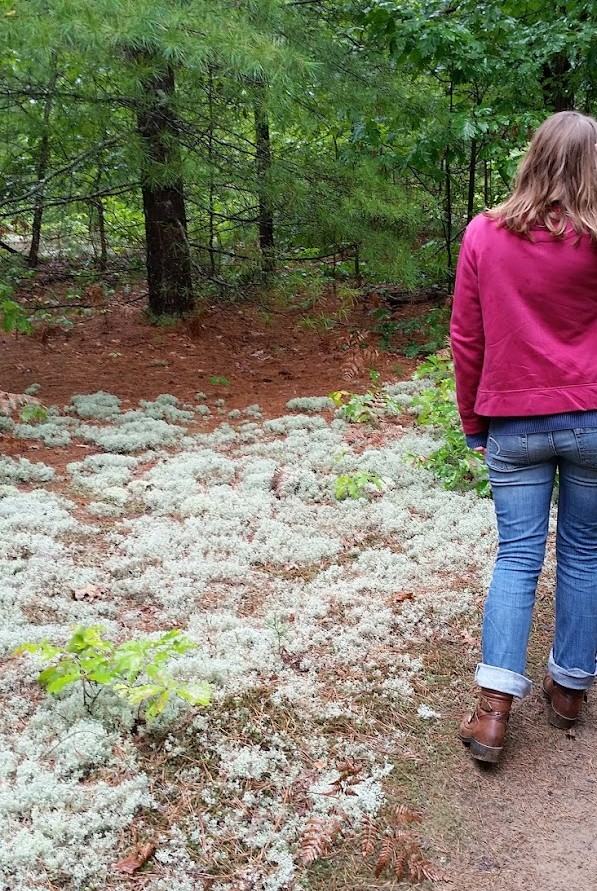
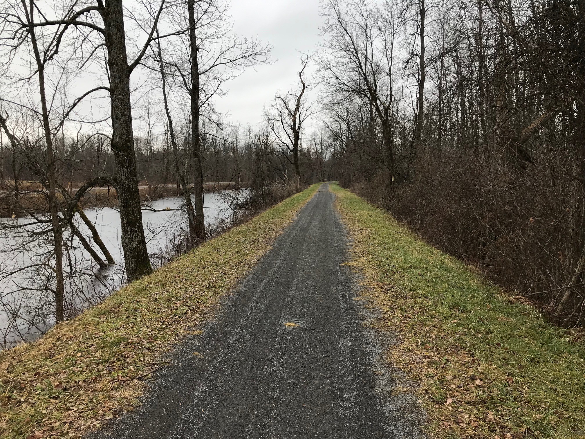
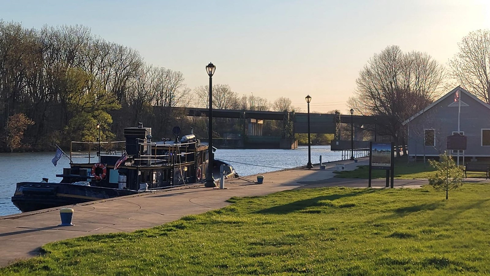
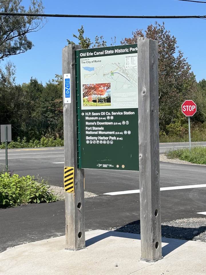
As an official Empire State Trail Town, Rome embraces its canal heritage by offering a welcoming stop for both local and visiting trail travelers. The Rome segment of the trail moves from shaded woodland stone-dust towpaths to paved trails along the calm waterfront at Bellamy Harbor Park, then moves on-road into the city's core, passing by historic Fort Stanwix and along West Dominick Street — the heart of downtown Rome. Here, trail users will find bike-friendly businesses, restaurants, and cultural landmarks like the Capitol Theatre that encourage trail users to pause and explore. Whether you're out for a short walk, or cycling across the state, Rome offers a distinctive blend of history, scenery, and small-city hospitality at the center of New York's canal trail network.

You can explore the interactive Empire State Trail map here for wayfinding, parking information, connecting trails (like the Mohawk River Trail), and more!

Mohawk River Trail 1
Glow trail on Mohawk River Trail
Mohawk River Trail 3
Mohawk River Trail 4

Mohawk River Trail

The Mohawk River Trail (MRT) is a scenic, multi-use pathway that follows the Mohawk River through the City of Rome, offering a relaxed and accessible experience close to downtown. The MRT starts at Bellamy Harbor Park, where it connects to the Empire State Trail. The MRT then travels northward, connecting waterfront areas with neighborhoods, parks, and destinations like Griffiss Business & Technology Park. At Griffiss, the trail links directly to the Griffiss International Sculpture Garden & Nature Trail, expanding opportunities for exploration. Mostly paved and relatively flat, the trail is well suited for walking, biking, running, and family outings, with stretches that pass through wooded corridors and riverside scenery. The riverfront setting also makes it a popular spot for fishing, with multiple informal access points along the trail. Public parking and trail access are available at 91 Perimeter Rd, Rome, NY 13440 (E Chestnut St) and 138 River St, Rome, NY 13440, making it easy to explore different sections.

One of the trail's most distinctive features is its "glow trail" section (roughly from the Perimeter Rd parking lot north towards Price Chopper), which incorporates photoluminescent aggregate — often called glow stones — embedded in the pavement. These stones absorb sunlight during the day and emit a soft glow at night, creating a unique and visually striking after-dark experience. The glow trail has become a local highlight, adding a memorable element to Rome's growing trail system while enhancing evening walks and rides.

Griffiss Sculpture Garden 1
Griffiss Sculpture Garden 2
Griffiss Sculpture Garden 3
Mohawk River Trail connection

Griffiss International Sculpture Garden & Nature Trail

The Griffiss International Sculpture Garden & Nature Trail is one of Rome's most unique outdoor destinations, blending art and recreation across the former Griffiss Air Force Base. Located within Griffiss Business & Technology Park, the site features miles of paved and natural-surface trails that wind through open fields, wooded areas, and former airfield landscapes. Along the way, visitors encounter a growing collection of large-scale sculptures by artists from around the world. In addition to walking and biking trails, the area is home to Bomber Disc Golf, an 18-hole disc golf course that draws both casual players and experienced disc golfers from across the region. The course makes creative use of the landscape, featuring a mix of open throws and technical wooded holes. The trail network also connects directly to the Mohawk River Trail, providing access to Rome's broader trail network.

Parking is available at 653 Ellsworth Rd, Rome, NY 13441.

Learn more about the site here.

Delta Lake 1
Delta Lake 2

Delta Lake State Park

Delta Lake State Park is a popular outdoor destination located just north of the City of Rome, set on a wooded peninsula extending into Delta Reservoir. The reservoir itself was created in the early 1900s when the Mohawk River was dammed to provide water for the expanded Erie Canal system, flooding the former village of Delta and reshaping the landscape into the lake visitors see today. This canal-era history gives the park a unique connection to the region's broader waterway network, tying it directly to the Mohawk River and the canal system that helped shape Rome and central New York.

Today, the park offers a wide range of recreational amenities. Visitors can enjoy hiking and nature trails, shoreline fishing, and a sandy swimming beach during the summer months, along with a boat launch that provides access to the reservoir. The park also features picnic areas and pavilions, playgrounds, and a campground with over 100 sites for tents and RVs, making it a popular spot for both day trips and overnight stays.

Delta Lake State Park is open year-round and offers four-season recreation, including cross-country skiing and winter activities when conditions allow. Learn more about the park including hours, maps, and admission here.

Pitch Pine Bog

Pitch Pine Bog

The Pitch Pine Bog is a quiet, nature-focused preserve located within the larger Rome Sand Plains ecosystem and is one of the few inland pine barrens landscapes in the northeastern United States. The area is known for its unique mix of sandy soils, pitch pine stands, and peat bog wetlands formed by glacial activity thousands of years ago. This unusual habitat supports specialized plant and animal life and offers a more intimate, less developed outdoor experience compared to larger parks in the region.

The trail system at Pitch Pine Bog is managed primarily by the Izaak Walton League, a conservation organization that maintains the site for passive outdoor recreation. Visitors can enjoy hiking, walking, trail running, birdwatching, and nature study along relatively flat, easy trails that loop through pine barrens and wetland edges. The area is especially popular with local naturalists thanks to its distinctive ecology and quiet setting. It is located at 7989 W Thomas St, Rome, NY 13440.

Rome Sand Plains Trail Map
Rome Sand Plains Map
Rome Sand Plains 1
Rome Sand Plains 2
Rome Sand Plains 3

Rome Sand Plains Unique Area

The Rome Sand Plains Unique Area is a state-managed natural area located in the City of Rome, featuring a rare inland pine barrens ecosystem made up of sand dunes, peat bogs, wetlands, forests, and open barrens. Managed by the New York State Department of Environmental Conservation (DEC), the Unique Area covers roughly 1,786 acres and is part of a larger multi-owner conservation landscape. The area is open year-round and free to access, offering visitors a chance to experience one of the few inland pine barrens ecosystems in the United States.

Several marked hiking trails wind through the property, including the Wood Creek Trail, the Sand Dune Trail, and the Beaver Brook Trail.

Beyond hiking, the Rome Sand Plains Unique Area allows additional outdoor uses such as hunting, trapping, snowmobiling, cross-country skiing, and snowshoeing, though some activities do not have designated maintained trails. The site also includes a designated target shooting area accessible from Hogsback Road. There are small parking areas and trailheads along Hogsback Road and Oswego Road, and the area operates under a carry-in/carry-out policy with no camping permitted. More information can be found at the NYDEC's website.

North Country Trail

North Country National Scenic Trail

The North Country National Scenic Trail (NCT) is the longest trail in the U.S. National Trails System, stretching roughly 4,800 miles across eight states from Vermont to North Dakota. Designated in 1980 and administered by the National Park Service in partnership with volunteers and nonprofit organizations, the trail crosses forests, farmland, small towns, and public lands across the northern United States. New York hosts nearly 700 miles of the route, where the NCT passes through diverse landscapes including canal corridors, state forests, and the Adirondacks. In many areas, it overlaps with existing long-distance routes, reflecting its role as a "trail of trails" that connects regional pathways into a national network.

In the Rome area, the NCT overlaps segments of the Mohawk River Trail and the Erie Canalway Trail. From Rome, the trail continues east toward the Adirondacks and west through central New York, where it eventually connects with routes such as the Finger Lakes Trail, linking Rome to a broader national trail network that spans the northern United States.

Find out more about the NCT here.